AutoCAD Civil 3D-For Surveyors

AutoCAD Civil 3D - For Surveyors

Duration: 20 hours

Teaching Methodology: Hands on

Course Schedule: Schedule

Fees $350

Course Mode: Blended Face-to-face or online via Zoom


DESCRIPTION

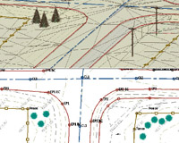
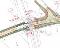
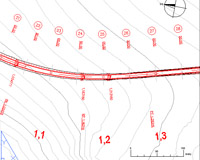
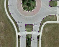
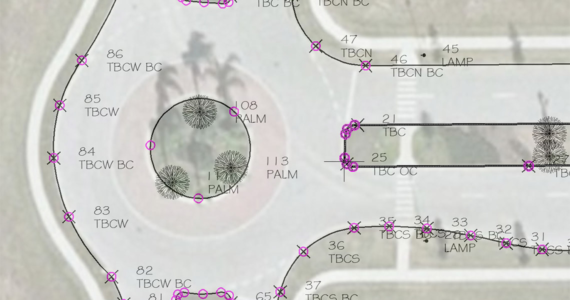
This advanced course on AutoCAD Civil 3D teaches you about survey databases, points, parcel creation, surfaces, horizontal alignments, design profiles, assemblies, corridors, cross sections, quantities, intersections, roundabouts, grading, pipes, sharing data, and animation.

AUDIENCE

Civil engineers, designers, drafters, technicians, and surveyors.

PREREQUISITES

Experience with AutoCAD or AutoCAD-based products (such as Autodesk Land Desktop) and a sound understanding and knowledge of civil engineering terminology. A basic level of AutoCAD Civil 3D experience is required.

AutoCAD Civil 3D for surveyors 01
AutoCAD Civil 3D for surveyors 02
AutoCAD Civil 3D for surveyors 03
AutoCAD Civil 3D for surveyors 04

COURSE CONTENTS

01 - Survey

  • Working with Survey Databases
  • Creating a Figure Prefix Database
  • Setting up Linework Code Sets
  • Importing Point Files and Fieldbooks
  • Working with Survey Queries

02 - Parcel Creation

  • Working with Parcels - Overview
  • Understanding Parcel Styles
  • Creating Parcels from Objects
  • Creating Right-of-Way Parcels
  • Working with the Parcel Creation Tools
  • Editing Parcels
  • Renumbering Parcels
  • Labeling Parcel Areas
  • Labeling Parcel Segments
  • Creating Parcel Tables
  • Creating Parcel Reports

03 - Points

  • User defined
  • Point file format
  • Description key sets

04 - Surfaces

  • Grid Volume
  • Drap Image
  • Move Blocks to surface
  • Move Blocks to attribute elevation
  • Move Text to Elevation
  • Spot elevation expressions
  • Boundaries(destructive/nondestructive)
  • Pasting Surfaces

05 - Horizontal Alignments

  • Creating Offset Alignments and Widenings

06 - Existing and Design Profiles

  • Project objects to Profile

07 - Assemblies and Corridors

  • Create Tool Palette with Subassemblies
  • Add Assembly Offset
  • Road widening
  • Generic
  • Polylines subassemblies
  • Code set

08 - Cross Sections and Quantities

  • Right of Way label and marker
  • Conditional subassemblies
  • Civil multiview blocks
  • Modify sections using section editor

09 - Intersections and Roundabouts

  • Working with Intersections - Overview
  • Creating an Intersection
  • Creating a Roundabout

10 - Grading and Quantities

  • Working with the Grading Tools- Overview
  • Creating Feature Lines from Objects
  • Creating Feature Lines from Corridors
  • Creating Feature Lines from Alignments
  • Creating Feature Lines
  • Editing Feature Lines
  • Create Final Grading Surface and Calculate Volumes

11 - Pipes

  • Work with Pipe and Structure Rules
  • Layout Pipe Network
  • Draw Pipes in Profile View and Edit Pipe Network
  • Label Pipes in Plan and Profile

12 - Sharing Data

  • Treating Data Shortcuts
  • Using Data Shortcuts

13 - Exchanging Data with Other Applications

  • Importing Data from Land Desktop
  • Working with LandXML Data
  • Exporting Civil 3D Data to AutoCAD

14 - Animation

  • Publish
  • Motion path animation
  • Visual style manager