InfraWorks - Fundamentals
Duration: 16 hours
Teaching Methodology: Hands on
Course Schedule: Schedule
Fees 600
Course Mode: Blended Face-to-face or online via Zoom
 |
 |
 |
 |
DESCRIPTION
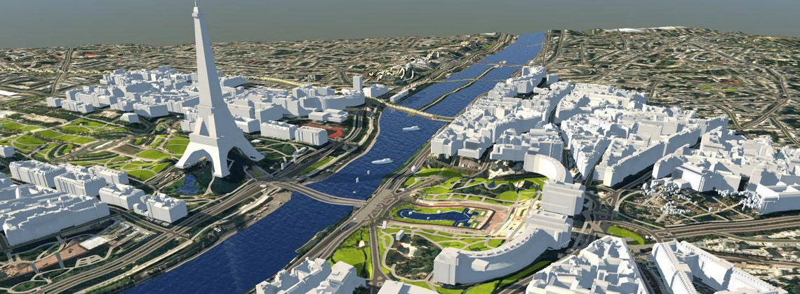
InfraWorks® software supports connected BIM (Building Information Modeling) processes, enabling designers and civil engineers to plan and design infrastructure projects in the context of the real world.
AUDIENCE
Civil engineers.
PREREQUISITES
A fundamental understanding and knowledge of civil engineering terminology.
COURSE CONTENTS
01 - InfraWorks Intro
- Dashboard
- Model Builder
- Application options
- Utility Bar
02 - Building a Model
- GIS data
- Surface layers
- Model Explorer
- Stack
- ArcGIS connector
- Import aerial photos
- Bookmarks
- Proposals
03 - Theming Data
- Creating a terrain theme
- Creating a feature theme
04 - Site Planning
- Residential subdivisions - Lots
- Residential subdivisions - Homes
- Commercial parking
05 - Site Grading and Creation
- Creating land areas
- Creating coverage areas
- Creating buildings
- Creating water features
- Creating walls and barriers
- Trees and landscaping
- Creating city furniture
06 - Road Design
- Planning roads
- Creating component roads
- Right of way
- Profile and section views
- Roadside grading
- Sight distance
- Profile optimization
- Corridor optimization
- Corridor quantities
- Earthwork quantities
- Intersection design
- InfraWorks
07 - Bridge Design
- Creating a bridge
- Working with girder types
- Working with piers
- Line girder analysis and quantity reports
- Create tunnels
08 - Railways
- Creating railways
09 - Utilities
- Watersheds
- Creating pipelines and connectors
10 - Visualization
- View settings
- Sun and sky setting
- Application options - 3D graphics
11 - Collaboration
- Watermarks
- Create and share storyboard
- Create snapshot
- Create share views
- Export to FGDB
- Export to ArcGIS Online
- BIM 360 Sync
12 - About GIS
- Itroduction to GIS