GIS 1 Maps, Data, and Applications - Training Course
Learn Geographic Information Systems (GIS) at ETC Training Center in Lebanon — explore maps, spatial data, and applications hands-on.
Duration: 20 hours
Teaching Methodology: Hands-on
Course Schedule: Schedule
Fees: $450
Course Mode: Blended (Face-to-face or Online via Zoom)
 |
 |
 |
 |
DESCRIPTION
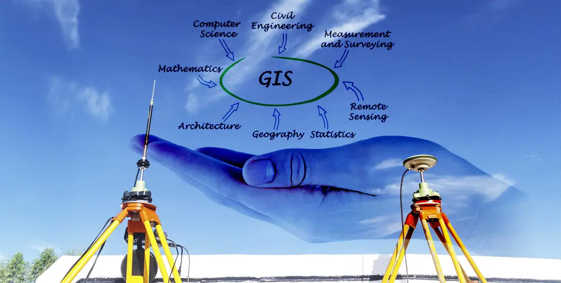
This GIS course teaches storing, retrieving, and analyzing geographically referenced data. You will learn to explore the spatial relationships, patterns, and processes of cultural, biological, demographic, economic, geographic, and physical phenomena at a scientific level.
AUDIENCE
Professionals and students exploring a potential career with GIS.
PREREQUISITES
None.
COURSE CONTENTS
Part I - Using and Making Maps
Chapter 1: Introduction – Working with existing GIS data and maps
Chapter 2: Map design – Creating choropleth and point maps
Chapter 3: GIS outputs – Building and exporting maps using GIS data
Part II - Working with Spatial Data
Chapter 4: File Geodatabases – Creating geodatabases and importing data
Chapter 5: Spatial Data – Understanding data types and gathering GIS data from the Internet
Chapter 6: Digitizing – Creating vector data and transforming to real-world coordinates
Chapter 7: Geocoding – Mapping address data as points
Chapter 8: Geoprocessing – Performing spatial analysis with geoprocessing tools
Part III - Learning Advanced GIS Applications
Chapter 9: Spatial Analysis – Building workflows for analysis
Chapter 10: ArcGIS 3D Analyst – Creating 3D scenes and line-of-sight studies
Chapter 11: ArcGIS Spatial Analyst – Analyzing raster maps like hillshades and risk surfaces